
Webster ZIP Codes in the Record Trail
Only one postal identifier is firmly confirmed for the Town of Webster in the sources reviewed: 14580. The USPS location record identifies the Webster Post Office at 75 Barrett Drive as 14580-9998. That makes 14580 the sound starting point for a Webster delivery check. It does not prove that every address in the town has that ZIP, or that a nearby postal facility serves a Town parcel. The Town does not publish a complete, current postal-boundary table, so a ZIP search needs an address-level check instead of a broad map assumption.
| ZIP Code | Areas Covered | Post Office | Record Note |
|---|---|---|---|
| 14580 | Verified primary Webster postal identity | Webster Post Office, 75 Barrett Drive | Confirmed USPS identifier; validate each address separately. |
| 14563 | Nearby Union Hill postal reference | Union Hill Post Office | Town delivery coverage was not verified. |
| 14519 | Nearby Ontario Center / Ontario postal reference | Ontario Center / Ontario | Town delivery coverage was not verified. |
Those last two rows are nearby alternatives, not a claim that they serve Webster addresses. A mailing label, an online form, and a parcel may each use different geographic systems. Keep the specific address, municipality, and parcel reference together when the ZIP does not seem to match the place name.
Note: USPS lookup confirms delivery addressing, not a person or company at that address.
Why Webster ZIP Lines Differ
A ZIP code is a Postal Service delivery construct. It is not a Town boundary, a Village boundary, or a legal property description. The Census uses ZIP Code Tabulation Areas, called ZCTAs, to generalize delivery-point information for statistics. A ZCTA can be noncontiguous and can represent a PO-box or unique-address ZIP. Monroe County parcel records use another system: municipality, SWIS code, tax-map parcel number, and property address fields. A deed adds a legal description, which identifies the land conveyed even when a mailing address changes.
Webster is especially important to read by those separate layers. The Town contains Village and hamlet contexts, while county property records are keyed to parcels and postal forms are keyed to delivery. A Town name on an address is a useful clue, but it cannot replace the parcel ID or legal description when checking a transfer, a final assessment-roll entry, or a historic address.
Validate a Webster ZIP Code First
The official USPS ZIP Code Lookup supplies the cleanest postal check before a Webster directory search moves to local records. Its ZIP-by-address route takes a street address, city, and state, with optional company and apartment fields. A separate city-and-state route finds ZIPs for a locality, while Cities by ZIP begins with the ZIP itself. Use the spelling and unit information shown on the mail piece. A returned ZIP tells you how the Postal Service recognizes delivery, not who occupies the property.
| USPS route | Fields captured | Best use |
|---|---|---|
| ZIP by Address | Street Address, City, State; optional Company and Apartment | Confirm one delivery address before a local record search. |
| ZIP by City/State | City and State | Check the postal identifiers associated with a locality. |
| Cities by ZIP | ZIP Code | Review the Postal Service city naming associated with one ZIP. |
A different result is worth investigating, not ignoring. Search the address without an unsupported assumption about town coverage, then compare the USPS result to the town’s official address notices and the county parcel record. That preserves a useful evidence trail when an old abstract, tax bill, or family paper carries another form of the address.
Finding Webster Records by ZIP Code
A ZIP can narrow a Webster search, but the verified local tools do not offer a public ZIP-wide people search. The Monroe County Real Property Portal begins with an address, and Webster’s instructions say to type it without the street suffix before selecting the assisted result. The public parcel report yields the property’s municipality, parcel ID, assessed and building facts, sales history, and Book/Page bridge. It does not show a public owner-name search or a household list. The right sequence is to validate an address, open that parcel, and then follow the local record that answers the question.
- Confirm the street address and ZIP with USPS, retaining apartment information when it applies.
- Enter the Webster address in the County property route without the street suffix, then save the matching parcel ID and municipality.
- Use the parcel’s sales Book/Page or legal property detail when a recorded transfer must be checked through the County Clerk.
- For a postal or parcel mismatch, ask the Webster Assessment Office about the official property address and consult a dated address-notification record.
- Move to the Webster street directory only after the ZIP has been narrowed to the correct street or parcel.
The Town GIS and County parcel schema include ZIP as an attribute of a selected parcel. That supports parcel-specific comparison. Research did not verify a public control that searches all owners or residents across a ZIP, so a ZIP field should not be presented as a resident filter.
The Monroe County property entry page is the official handoff to the address and parcel route.
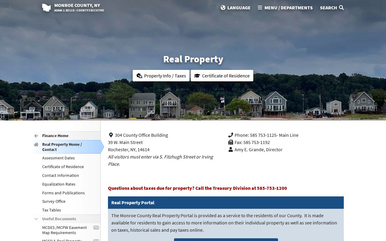
The portal image reinforces the order of the search: identify one Webster property by address, then retain its parcel details before comparing any postal field.
Webster Parcel ZIP Fields
The Town of Webster GIS links to a map viewer with search, layers, a legend, measurement, and printing. The County public parcel layer supplies site-address components, ZIP, unit, parcel ID, PrintKey, SWIS, geometry, property class, roll and historic Book/Page fields. It deliberately omits owner names and owner mailing addresses. That distinction matters when a map point or ZIP field appears to answer more than it does.
Use the selected parcel to compare the situs address with the ZIP shown in the geographic record. For a dated owner or mailing field, use the Town’s 2026 Final Assessment Roll or ask the Assessment Office for help, keeping in mind that a mailing address can differ from the physical situs. The assessment roll is a dated tax record, not a current household roster. A booked deed then supplies a legal-description cross-check through the Monroe County Clerk.
The Town of Webster GIS viewer is the documented map interface for checking a selected parcel’s setting.
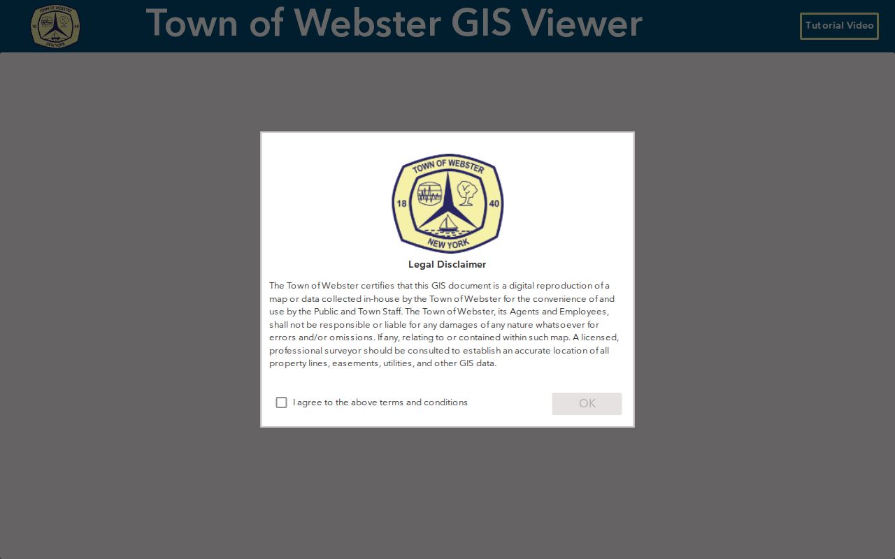
The viewer helps compare the selected property to the mapped parcel, but its map disclaimer means it is not a substitute for a survey or a legal-description check.
Note: A ZIP attribute helps reconcile a parcel, but it does not establish residence or ownership by itself.
Webster Address Changes and ZIP Checks
Webster maintains Official Address Notifications, a local resource that can explain why the name on a deed or abstract differs from a current delivery address. A notice dated September 16, 2025 describes a correction after inconsistent use of a private-road name and an unapproved name. The Town reassigned the official address and notified the post office, utilities, emergency services, and government offices. It also warned that deeds and abstracts may retain the earlier address.
That is a practical ZIP code directory lesson. Search both the older and reassigned address forms, but match the parcel PrintKey, tax-map identifier, and legal description before deciding that they refer to the same property. The notification page’s broad current-through wording can conflict with later entries, so cite the dated individual notice rather than relying on its header alone. Historic directories and assessment records then become evidence for a time period, not proof that a current address has always used the same postal form.
Webster ZIP Code Boundaries and Limits
A Webster ZIP code directory cannot convert a delivery area into a definitive resident list. New York’s VoterLookUp uses ZIP along with a voter’s name, date of birth, county, and address for self-service registration and poll information. It is not a public ZIP browse. The county parcel viewer supports selected-parcel geography, not a verified ZIP-wide person query. For historic household research, the 1938, 1939, and 1940 Webster street guides and the Museum’s address-sorted files supply date-specific material, but neither is a current directory.
- ZIP code
- A Postal Service delivery identifier that can cross municipal boundaries.
- ZIP+4
- An added delivery-detail code used with a ZIP, often for a narrower address segment or delivery point.
- PO-box ZIP
- A ZIP associated with post-office boxes rather than a broad physical delivery area.
- Unique ZIP
- A postal identifier assigned for a single high-volume recipient or institution.
- Carrier route
- A delivery sequence used by the Postal Service, not a Town boundary or proof of who lives at an address.
Use public records only for lawful personal research, family history, property questions, and civic context. Protected voter registrations, Address Confidentiality Program records, utility information, and private household details are not opened by a ZIP search. Verify a result with the office that holds it and never use an address trail to stalk, harass, or harm anyone.
Webster ZIP Code History Sources
When the goal is an older address rather than present delivery, shift from ZIP code to dated local evidence. The digitized 1940 Polk street guide lists street headings, numerical addresses, householders, businesses, and routing descriptions. Webster Museum holdings add address-sorted home and business records, a 1942 street-and-name survey, early assessment material, and maps. The Central Library’s Local History and Genealogy Division holds suburban directories from 1930 and additional regional material. Those sources can show how an address was described at a particular point in time.
Pair an old directory entry with the parcel’s Book/Page, a map date, or a historic assessment record. The 1940 guide warns that some streets were incorrectly numbered and marks that fact with an asterisk. A careful Webster ZIP code search therefore preserves the street name as printed, the date, nearby intersections, and the legal property reference rather than forcing an older source into a modern postal label.
Note: A historical address match is time-specific evidence and does not prove an uninterrupted household connection.
For a current address question, begin with USPS, the County property record, and the Webster Assessment Office. For older residence questions, keep the postal label in context and use the historic directory, Museum, library, and Clerk channels that document a specific date.