
Find a Webster Street by Address
A Town of Webster address is the best starting point for a by-street search because the County property system is organized around a parcel. Begin with the exact house number and street, then preserve the municipality, parcel ID, sales reference, and legal or tax-map context that appear in the result. The property report establishes a location and creates a bridge to records held elsewhere. It does not establish that every person associated with an address lives there now.
- Enter the address in the Monroe County property portal without the street suffix, then choose the assisted dropdown match and save the parcel ID and SWIS code.
- Read the parcel report for the situs address, sales history, Book/Page reference, property class, and map link. Keep its dated context with the result.
- Open the linked county or Town map view to check the parcel outline and the surrounding street geometry. A map position is a check on the property, not a resident list.
- Use the Book/Page in the Monroe County Clerk index, then compare the deed parties, municipality, recording date, and legal description before connecting records.
- For an earlier address snapshot, compare the 1938, 1939, or 1940 Webster street guides and the library collections. VoterLookUp is only for a registered voter’s own record, not a public street browser.
That sequence follows the local handoff described by the Town Assessment Office and the County Historian. If a result is unclear, the Assessment Office, Clerk counter, public terminals, library, and Historian are documented fallbacks rather than reasons to fill gaps with assumptions.
Webster Street Directory Parcel Start
The Monroe County Real Property Portal is the address-first gateway for a Town of Webster property trail. A result can display a municipality or SWIS code, parcel ID, situs address, class, school district, lot dimensions, assessed values, building details, historic sales, and a map link. Its sales table can carry the Book/Page reference that opens the recorded-document side of the search. The Town’s Assessment Office says the public county portal does not offer an owner-name search, so an address search should not be recast as a public person search.
Shown below is the County portal entry point for Town of Webster address and parcel research on the official Real Property page.
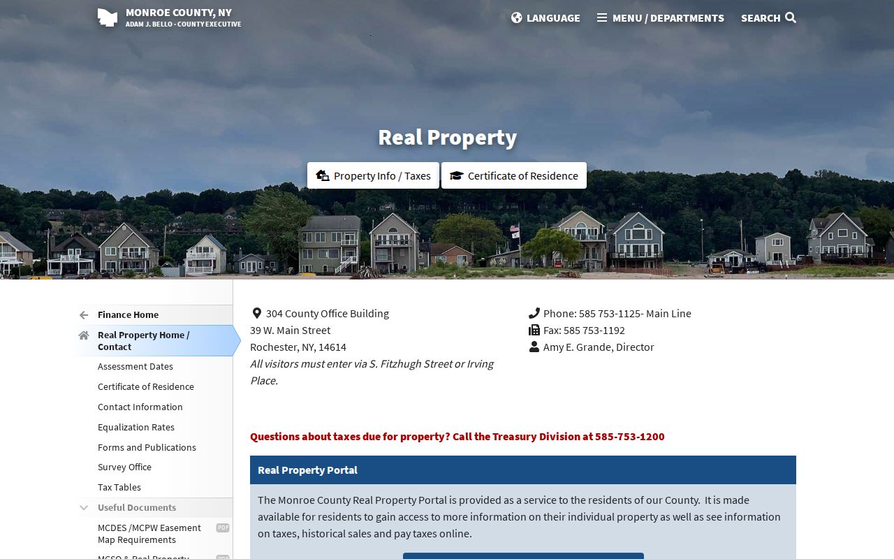
Use the portal result to retain a parcel identifier before moving to a deed or map. The identifier is more stable than relying only on a street label when a road name, address assignment, or municipal description changes.
- Parcel
- A tax-map unit of land used by the assessment and map systems.
- Situs address
- The physical property location shown on a parcel report, distinct from a correspondence address.
- Legal description
- The deed language that identifies conveyed land and is often stronger than an older street label.
- Book/Page
- A recorded-document reference that can lead from a property report to the Clerk index.
Webster Street Directory Search Fields
The documented property route is intentionally narrow. Town instructions say to type an address without words such as street, lane, or road, choose the assisted match, and search. The resulting parcel ID is a research reference, not proof of present occupancy. A researcher needing dated owner or mailing information must use the final assessment roll or ask the Assessor through the appropriate local channel.
| Field or control | Observed use |
|---|---|
| Address | Autocomplete text field for the documented route; enter the address without the suffix. |
| Search | Returns the matching property report after a selected address. |
| Parcel or tax ID | Result identifier to copy exactly for later RPTS, Assessor, GIS, or Clerk research. |
| View Information / Pay Taxes | Named portal entry mode; payment is not required to inspect property information. |
| Compare Data / Sales | Result-page mode or tab observed in the portal capture; its filters were not verified. |
Note: The public portal supports a property route, while the Town’s dated final roll is the fuller owner and mailing-address source described in local assessment materials.
Webster Street Directory GIS Handoff
After a parcel report identifies the property, use the Monroe County Parcel Viewer or the Town viewer to confirm parcel geography. The public county layer has parcel ID, PrintKey, SWIS, site-address components, ZIP or unit fields, roll and assessment data, historic Book/Page, and parcel geometry. It does not include owner names or owner mailing addresses. The Town GIS adds map-centered searching, layers, a legend, measurement, and printing, with a stated warning that it is not survey-grade.
The Town’s GIS viewer provides the local map context for the address workflow.
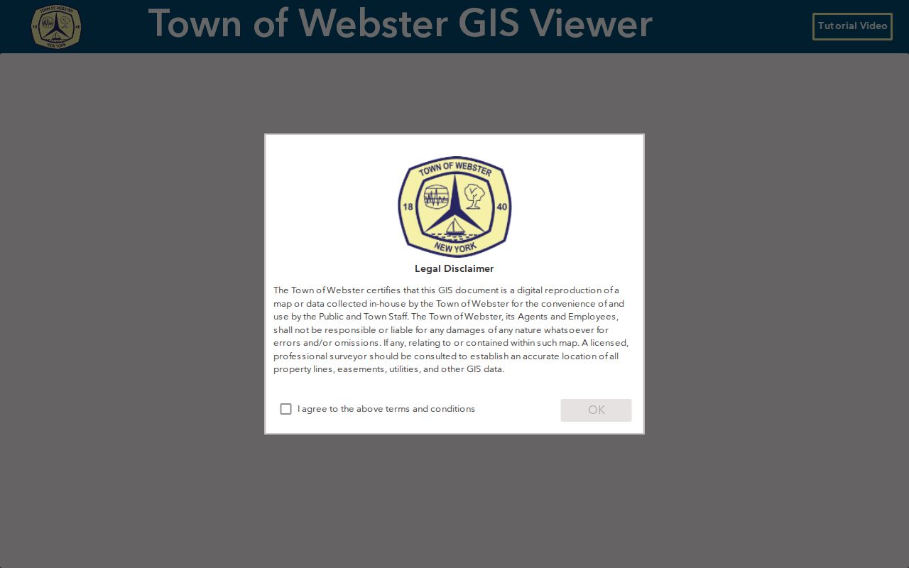
Map geometry helps check a corner lot, access road, or similarly named street before a record is connected to it. Return to the Assessor or Clerk with the parcel ID, PrintKey, or Book/Page rather than treating a map popup as a conclusion about an individual.
Webster Deed Trail by Street
A recorded-document trail begins with the property report’s Book/Page and continues through the Monroe County SearchIQS index or the Clerk counter. Search the instrument, then compare the party names, municipality, recording date, and legal description. The County Historian’s method works backward through the grantee index: identify the buyer in one transfer, then find that seller’s acquisition while matching the same described land. It is not a simple street-name search because older instruments can depend on lot, block, and legal-description wording.
Deed indexes reach back to the County’s 1821 creation through ledgers and microfilm. SearchIQS reports deed index coverage from Aug. 28, 1973 and deed index-plus-image coverage from Jan. 2, 1976. Beginning April 1, 2026, party names and property-address index data remain free, while digital original images require a subscription. The Clerk states that public terminals display images at no cost, and the online document-request form provides another path for an identified record.
Local access comparison. A parcel report supplies a property bridge but not an owner-name search. Clerk records add recorded parties and legal details, while the terminal, request form, ledgers, and Historian remain important when an online image is unavailable.
Historic Webster Street Directory Clues
The digitized Rochester Suburban Directories offer verified Webster name listings and street guides for 1938, 1939, and 1940. The 1940 Polk guide organizes householders and businesses in numerical street order and gives street routing or intersection text. In that volume, a copyright symbol after a householder’s name means the house was owned by that person or a family member according to the guide’s own key. It is not legal-title proof, and an asterisk marks streets the guide considered incorrectly numbered.
Those local quirks are a reason to preserve surrounding addresses and cross streets in a research note. The Central Library collection starts suburban directories in 1930, and its Cole directory is also known as a Criss-Cross or Haines directory. For the longer shelf and the rules for reading an entry, use the Town of Webster City Directory collection page rather than assuming one volume represents every year.
Webster Address Changes Over Time
Street names and numbers do not always stay fixed. The Town’s Official Address Notifications include a Sept. 16, 2025 correction after inconsistent use of a private road name and an unapproved name. The notice says the Town immediately reassigned the official address and notified the post office, utilities, emergency services, and government agencies. It also warns that deeds and abstracts can retain the former address.
Search both the older and reassigned forms when a Town of Webster address appears to vanish. Then compare the PrintKey, parcel number, legal description, and deed reference before deciding whether two labels identify different places. The Town page’s general “current through” text can conflict with later rows, so the individual notice date is the safer citation.
Webster Street Directory Record Coverage
No single Town of Webster record set supplies every answer. Each address-keyed source has a defined role, access channel, and boundary. Combining them in the order below keeps property geography, recorded interests, dated historical household evidence, and municipal files separate.
| Address record | Local route | What it contributes | Boundary |
|---|---|---|---|
| Parcel or tax report | County property portal and Assessment Office | Situs, tax-map ID, values, building facts, sales Book/Page | No public owner-name search or occupancy list. |
| GIS parcel map | Monroe GIS and Town GIS | Parcel geometry, map relationship, geographic handoff | Not survey-grade; owner and mailing fields are absent from the public layer. |
| Deed, mortgage, lien, or map | Clerk index, terminal, request form, ledgers | Parties, legal description, instrument type, recording reference | Images have an access split; older work may require microfilm. |
| Historic address directory | Central Library and Webster Library collections | Householder or business at an address on a historic date | Canvasser information and date gaps need independent checks. |
| Building file | Webster Building Department or narrowly described FOIL request | Project, application, inspection, or certificate context | No verified online permit-by-address index. |
The Town Assessment Office maintains the local assessment roll and offers a public computer for people who need help with the property path. For an unavailable municipal record, use the Town’s FOIL channel to request existing, specifically described material. FOIL does not require an agency to create a new list or override confidentiality rules.
Webster Voter Records by Street
New York VoterLookUp is often mistaken for a Town of Webster public street-search tool. It is not. The official form is for a registered voter’s own registration, poll-site, and mail-ballot information, and requires County, last name, first name, date of birth, and ZIP or address verification. It has no verified public mode for browsing a street or compiling a household roster.
The official New York VoterLookUp form shows the self-service fields used for the voter’s own record.
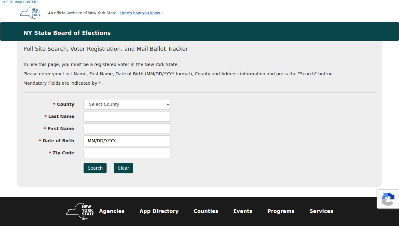
Election Law provides a different, office-based route for general-election registration lists by election district, subject to protected registrations and access rules. The Monroe County Board of Elections, not the self-service form, is the proper contact for a lawful records inquiry. A statewide voter-data request also requires an election-purpose statement under Election Law section 3-103(5).
Webster Building Files by Address
Property research can be widened with a known-address request to the Webster Building Department. Permit categories, forms, inspections, certificates, Planning, and code material are associated with a project or property, not a complete list of people at an address. The research found no verified public permit-by-address index, so the documented channels are the department counter, email, or a focused FOIL request for an existing file.
Give the address, date range, and project type when known. This reduces the chance that a similarly named road or later project is mixed into the record trail. A permit can date work on a building; it cannot by itself establish a household history.
Webster Street Directory Limits
A parcel describes assessed property interests and physical facts. A deed records a transfer. A historic directory creates a dated association. None is a complete present-resident census. Protected voter registrations, the New York Address Confidentiality Program, sealed court or vital records, DMV restrictions, nonpublic police material, utility data, and private club rosters remain outside this route. A missing entry is not proof that a home was vacant or that a person was absent.
Lawful use. Use Town of Webster address records for personal research, property history, family history, civic questions, and verification with the custodian. Do not use records to stalk, harass, threaten, or harm another person.