
Webster Neighbors Through Block Records
Public records can describe a block in pieces. Monroe GIS and the property report connect a Webster address to parcel geometry, a parcel ID, and a sales Book/Page reference. The Town’s final assessment roll is a dated tax record that may display an owner and separate mailing field for a particular parcel. Clerk documents add recorded parties and a legal description. The 1940 Polk street guide gives a historic numerical sequence of householders and businesses. Each source reports a different fact, so the best neighbor research keeps its date and purpose visible.
| Source | What It Shows About a Block | Access |
|---|---|---|
| Monroe GIS and parcel reports | Parcel outlines, situs, parcel IDs, assessment and Book/Page bridge | County viewer and property report |
| Town final assessment roll | Dated assessment, owner and mailing fields where recorded | Webster Assessment Office and public roll |
| County Clerk land records | Recorded deed, mortgage, lien, map, and named-party trail for one parcel | Free index, public terminal, request, or ledger route |
| 1940 Polk street guide | Historic numerical address sequence, householders, businesses, intersections | Digitized street guide |
| Town community organizations | Public contacts for voluntary local groups | Town inventory |
None of those entries is a complete roster of Webster neighbors. A parcel owner can differ from a resident. A mailing address can differ from the property situs. A historical street-guide listing is dated canvasser information, not a current title or occupancy finding.
Webster Parcel Records
Start with the known address in the Monroe County Real Property Portal. Webster’s local instructions say to enter the address without a street suffix while typing, choose the assisted match, and retain the municipality, parcel ID, and sales Book/Page. The resulting property record can show situs address, tax-map ID, class, values, lot dimensions, building details, sales history, and a map link. It does not provide a verified owner-name search or a current household list.
The selected parcel is stronger than a run of street numbers. A corner lot, flag lot, private access road, or subdivision can make a visually close property non-abutting. County parcel geometry and a legal description give the right starting point for understanding the block. The public parcel schema includes site-address and ZIP components, but not owner names or owner mailing addresses.
The Town of Webster GIS viewer documents map-centered search, layers, legend, measurement, and printing for a selected area.
The map view helps identify the land around an address, but the Town cautions that it is not survey-grade and it cannot prove a block relationship on its own.
Note: Map proximity alone cannot establish a property boundary, resident list, or relationship between Webster neighbors.
Webster Dated Parcel Records
After a parcel is identified, the Town of Webster Final Assessment Roll can provide a dated local assessment context that the county portal does not show. Its reported fields include the tax map parcel number, property location and class, current owner name, separate owner mailing address, taxable values, school district, land description, dimensions, deed Book/Page, and market value. Read each field as of that roll’s date. An owner mailing address is correspondence information, not proof that the owner lives at the parcel.
For a recorded property interest, use the Book/Page reference with the Monroe County Clerk. SearchIQS keeps standard index data free, while original digital document images have been subscription-gated since April 2026. The Clerk’s public terminals can show images at no cost, and the online document request form is another channel when a specific instrument is known. That access difference makes the parcel-to-Book/Page handoff more useful than an informal search for Webster neighbors by name.
Note: Match municipality and legal description before treating a recorded party as connected to the selected parcel.
Map Webster Block Records
The adjacent-parcel method keeps a Webster neighbor search tied to a reproducible record trail. It begins with one verified property, expands only to the surrounding polygons, and records the fact each later source actually supplies. A street directory can support the broader named-street research once a block question turns into a longer address chain.
- Find the known address through the County property route and save its municipality, parcel ID, PrintKey, and situs.
- Open the Monroe GIS link and identify the adjacent parcel outlines rather than assuming consecutive house numbers are neighbors.
- Open each selected parcel record to preserve its own ID, situs, class, and sales Book/Page reference.
- Use the Final Assessment Roll or Assessment Office for a dated owner or mailing field, labeling that field accurately.
- Use the Clerk index, public terminal, or a specific document request for a recorded party or legal-description question.
For a full record chain along one named road, use the Webster street directory. That address-focused workflow follows the property record, deeds, permits, and historical street material in more detail without treating nearby parcels as a list of households.
Webster Abutter Record Limits
Monroe County offers an unusual official tool, the Pesticide Neighbor Notification Locator. It accepts one street address plus ZIP, or multiple address-and-ZIP lines. Its instructions advise omitting periods and trying abbreviated or expanded street forms. Results may be formatted as abutting-and-owner, owner-only, or abutting-only mailing labels, with Excel or TSV export.
Its stated function is legally required pesticide-neighbor notification. Keep that purpose attached to the result. It is not a general Webster neighbor directory or a way to establish who resides nearby. When a property-specific record is needed for another lawful purpose, return to the parcel, assessment, Clerk, or Town office path that holds the relevant record.
Historic Webster Neighbors by Address
Historical Webster neighbors are better researched through date-specific address sources. The 1940 Polk guide arranges streets numerically and identifies householders and businesses, with route or intersection context. The guide marks an owner or family-owner indication with ©, yet warns that canvasser information is not guaranteed. It also uses an asterisk for incorrectly numbered streets. Those marks are reasons to compare a directory entry with a deed, census, obituary, or museum record, not reasons to assume an exact current match.
The Webster Museum Historian collection adds a 1942 resident survey arranged by street and name, home and business records sorted by address, early assessment records, an 1855 census copy, yearbooks, Herald volumes, and local maps. A researcher can ask about a particular street, year, and historic road form. The collection is a local historical channel, not a live household database.
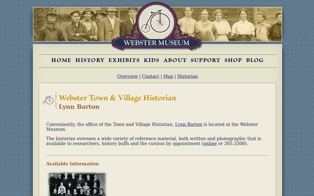
The Museum source is especially useful when a block question belongs to a past year and needs an address-sorted record rather than a modern map.
Note: A historic street-guide entry records one date and does not establish an unbroken occupancy history.
Webster Community Records
The Town’s Community Organizations inventory is the verified public route for civic contacts, not a membership or household roll. It identifies groups such as Friends of Webster Public Library, Friends of Webster Trails, Webster Community Chest, Kiwanis Club of Webster, Webster Lions Club, Webster Museum & Historical Society, Webster Rotary Club, Village Band, and the Women’s Club of Webster. The Town also lists citizen boards with public meeting and member information.
Webster Museum & Historical Society
Historical collections, maps, and address-sorted research materials.
Webster Public Library
Genealogy, local history, yearbooks, Herald, and regional research routes.
These public contacts can help with civic and historical context. They do not authorize a request for private club rosters, HOA membership, or individual contact details beyond what an organization has chosen to publish.
Official Webster Neighbor Sources Compared
Official sources are narrower because each custodian reports a defined record. That can feel slower than an all-in-one commercial category, but it makes the date, record type, and source easier to verify. Mixed commercial listings may be stale, conflated, or disconnected from the parcel at issue. For a Webster block question, choose the record that directly supports the fact needed.
| Official record path | Commercial neighbor category | Practical difference |
|---|---|---|
| Parcel, dated roll, deed, or historic guide | Mixed public and commercial data | The official path identifies a custodian, record date, and scope. |
| Specific address or parcel reference | Name and address matching across sources | A local property reference reduces same-name and wrong-lot errors. |
| Terminal, clerk, library, or request fallback | Single account result | Official access rules state what is available and what remains private. |
Webster Neighbor Privacy Limits
Webster neighbors cannot be reduced to a parcel map. Household members, utility and delivery records, private organization rosters, protected voter addresses, confidential program information, and nonpublic police records are outside this research path. New York’s Address Confidentiality Program provides an eligible participant a substitute address, while Election Law §5-508 protects qualifying confidential voter registrations from public inspection and copying. VoterLookUp is self-service for a registered voter, not a public street or block browser.
Election Law §5-602 creates a separate, office-based general-election list route by election district, subject to protected registrations. It should never be described as an always-current online neighbor list. If an address must be corrected, ask the office that maintains that record rather than trying to assemble private information from unrelated sources.